Travel maps
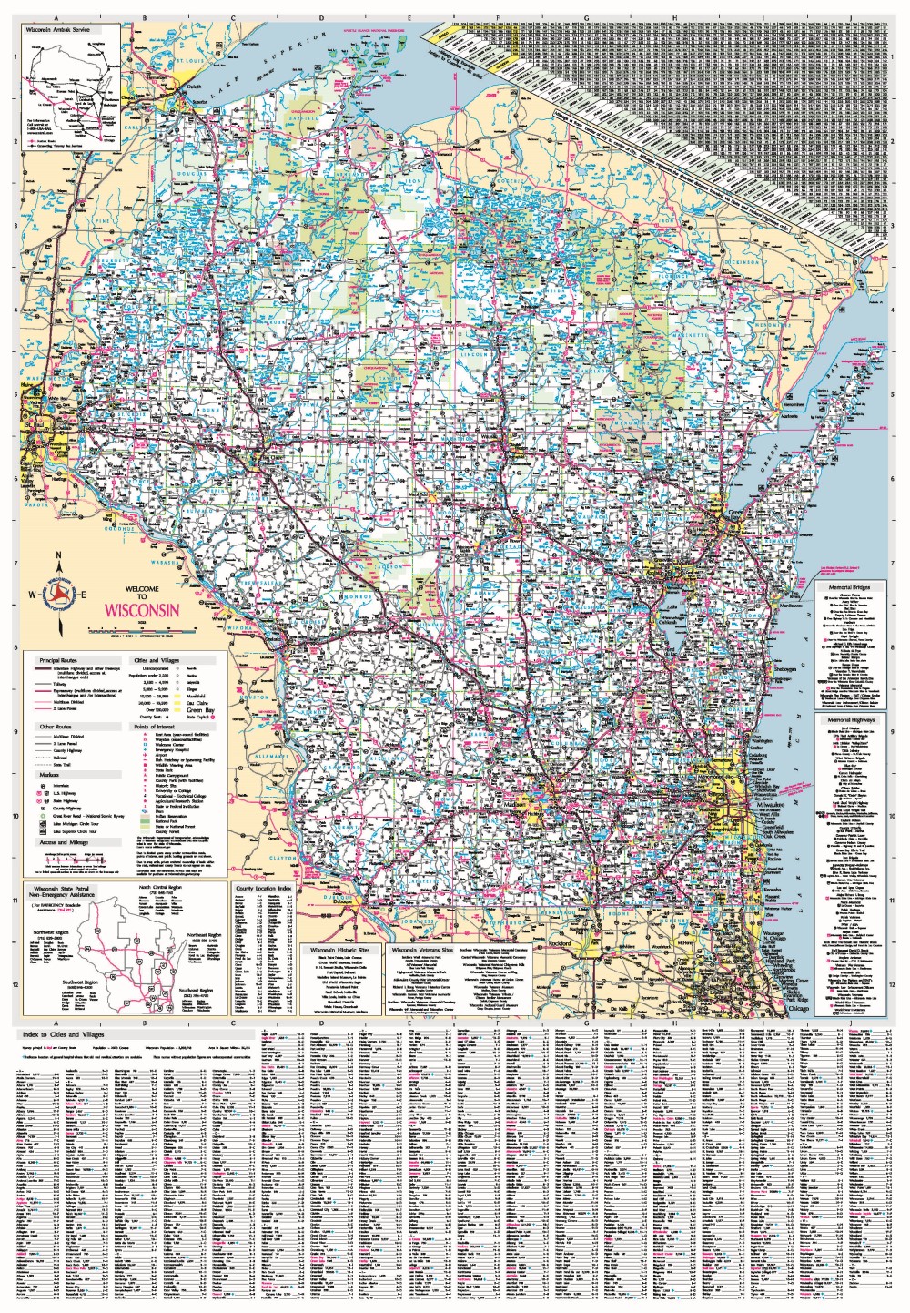
The Official State Highway Maps (folded pocket) are distributed for free to the public. Publication is done by the Wisconsin Department of Transportation (WisDOT), with contributions from the Department of Tourism, as a service to the traveling public. New editions are typically published every two years with the next release scheduled for spring of 2025.

Order
2023 Edition
Request the folded State Highway Map and other travel guides through the
Department of Tourism's Order Guide on TravelWisconsin.com or by phone at (800) 432-8747.
Need more copies? Order multiple highway maps or bulk orders (25+) by using the
State Highway Map Online Request Form provided by WisDOT.

Below are links to downloadable PDF files of the latest state highway map edition.
Travelers can also visit
511 Wisconsin for travel information.
Wall maps
Non-laminated (26” x 37.5” or 36" x 52") and laminated (26” x 37.5”) no-fold wall maps are available for purchase through
Document Sales.
Historic maps
Digital copies or scans of WisDOT's Official State Highway Map collection are available for viewing and download.
Interested in learning more about this collection? Read the
Review of Wisconsin's Official State Highway Map - A Century-old Time Capsule Beyond Highway History (2023).
*1916 map published by Rand-McNally with Wisconsin Highway Commission road data.
Contact information
Division of Transportation System Development
Bureau of Technical Services
Surveying & Mapping-Digital Cartography Unit
Email:
DOTBTScartography@dot.wi.gov