Aeronautical Chart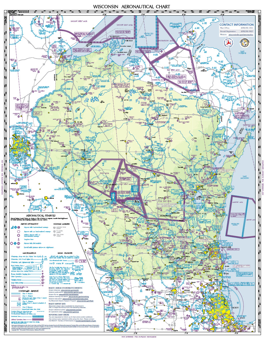
The Wisconsin Aeronautical Chart is provided for free to the public as an aid to safety and to promote Wisconsin's public-use airports. The map is not intended for in-flight navigation.
Order 2024-2025 Edition
Request an individual copy of the current chart free of charge by using the Wisconsin Aeronautical Chart Online Request Form.
Wall Maps (40" x 56")
Non-laminated (40" x 56") and laminated (40.5" x 56.5") no-fold wall maps for the 2024-2025 edition are available for purchase through Document Sales.
Archival Maps
Archived digital copies or scans of WisDOT's Wisconsin Aeronautical Chart collection are available for historic and/or research purposes. The first edition was published in 1967. Printed copies of the historic maps are not available for distribution.
Contact information
Bureau of Aeronautics
Email chart updates to: boadataupdates@dot.wi.gov